Artificial structures such as shipwrecks, oil and gas platforms, and offshore wind turbines introduce rare hard substrates into the predominantly sandy North Sea. These structures act as artificial reefs that attract diverse benthic communities, and nature‑inclusive design (NID) measures are increasingly used to enhance this ecological potential. Yet the success of such measures depends heavily on local environmental conditions and on the specific habitat requirements of individual reef‑associated species.
This project developed spatial habitat suitability maps to support evidence‑based NID in offshore wind farms. By combining biological observations from shipwrecks, platforms, and wind turbines with environmental data, the study identified which conditions drive the presence of reef‑associated species and predicted where these species are most likely to thrive on hard substrates such as scour protection. The resulting maps provide practical guidance for selecting suitable target species and optimal locations for biodiversity enhancement measures across the North Sea.
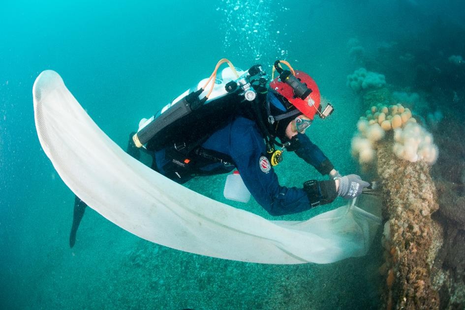
Photo by Cor Kuyvenhoven.